We developed an open-source workflow to monitor active water storage in reservoirs and lakes using satellite imagery and laser altimetry. Applied in Central Asia, the Sahel, and India, this method provides monthly water level and volume estimates—supporting water balance assessments and irrigation planning across large regions, without relying on in-situ data.
Lakes and reservoirs monitored across Africa and Asia
Ground measurements required — fully remote sensing-based
Time span of monthly water level and volume records
Open-source workflow available for operational use
Why Monitor Water Storage in Reservoirs?
Reservoirs and lakes are critical for sustaining agriculture, ecosystems, and human needs—especially in arid and semi-arid regions. Knowing how much water is stored and how it changes over time is essential for managing irrigation, forecasting droughts, and making informed water allocation decisions.
However, in many parts of the world, consistent and up-to-date measurements of water levels and storage are lacking. Traditional monitoring systems rely on in-situ sensors and manual reporting, which are often sparse, outdated, or inaccessible.
By combining satellite imagery with altimetry data, we offer a scalable and transparent solution to track water storage across entire regions—helping bridge data gaps and strengthen water governance.
A Novel Remote Sensing Workflow
The method builds on shoreline changes observed in optical satellite imagery and combines them with elevation data to reconstruct how much water has been stored over time. We first introduced the approach in 2022, using a UAV-derived digital elevation model to study an ungauged lake in Mali, West Africa. In our latest research, published in 2025, we take the method a step further: by using elevation data from the ICESat-2 satellite, we eliminate the need for any in-situ surveys.
This advancement makes our workflow fully scalable and adaptable—ready to be applied across large regions and different reservoir systems. Unlike newer satellite missions such as SWOT, which provide cutting-edge monitoring moving forward, our approach enables retrospective analysis by leveraging the entire Landsat archive, available in 16-day intervals since 1999. The result: detailed time series of water level and volume, generated entirely from spaceborne observations and spanning over more than two decades.
The technology is now available as an open-source workflow, combining Google Earth Engine, R, and Python scripts. All code and documentation are published on our Zenodo repository—allowing researchers, practitioners, and agencies to apply the workflow in their own contexts.
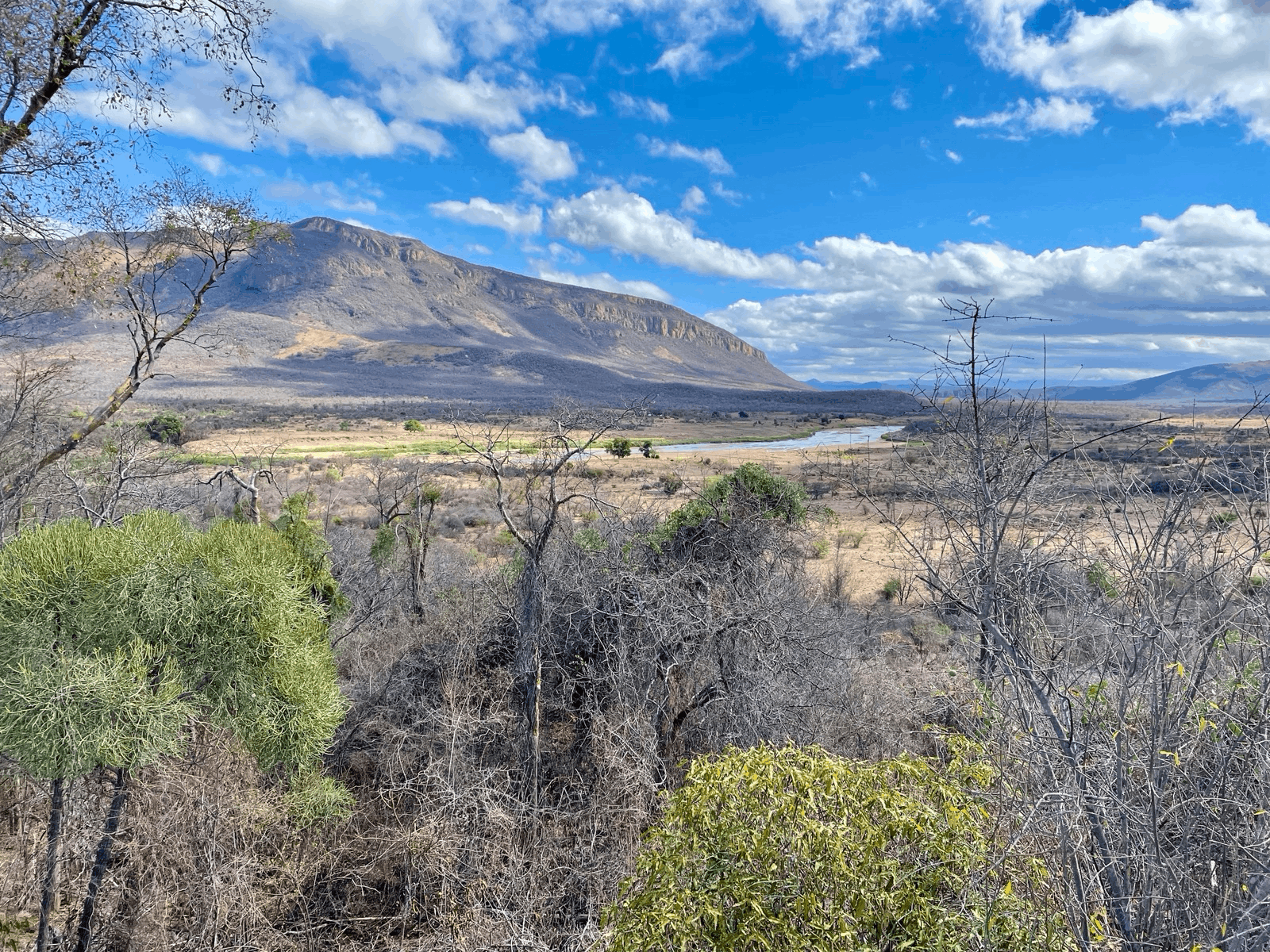
Case Study: Safeguarding Lac Wégnia, Mali
Lac Wégnia, a shallow lake and designated RAMSAR nature protection site in Mali, has experienced a long-term decline in water levels and surface area. In our 2022 study, we analyzed 541 satellite images captured on 527 dates between October 1999 and June 2021. The results revealed a persistent negative trend in seasonal lake levels, with an alarming pattern emerging: during the dry seasons from 2018 to 2021, the lake nearly dried out completely.
Our analysis showed that the lake’s persistence was threatened by progressive erosion through the natural levee at its outlet. This erosion steadily reduced the lake’s storage capacity—much like a bathtub that fills during the rainy season but then quickly drains through an unsealed hole. As a result, the water levels rapidly dropped after the rains, endangering the lake's ecological balance and the livelihoods depending on it.
This finding was pivotal to the SAWEL project (Ecologically Sustainable Agricultural Water Management in the Sahel Region), implemented in collaboration with Wetlands International and Caritas Switzerland. As a direct outcome, a spillway was constructed in 2024 to halt the backward erosion and restore the lake’s retention capacity.
Due to the worsening security situation in Mali, physical access to the lake became increasingly restricted. Our remote sensing workflow emerged as the only viable tool to monitor the project's impact. Through our web-based monitoring app, we now provide up-to-date measurements of lake water levels and surface area.
The results are encouraging: in the dry season of 2025, Lac Wegnia’s water levels have returned to values last observed 20 years ago. This confirms that the spillway is effectively stabilising the lake—highlighting how space-based monitoring can support ecological restoration and guide adaptive water management, even in complex and fragile environments.


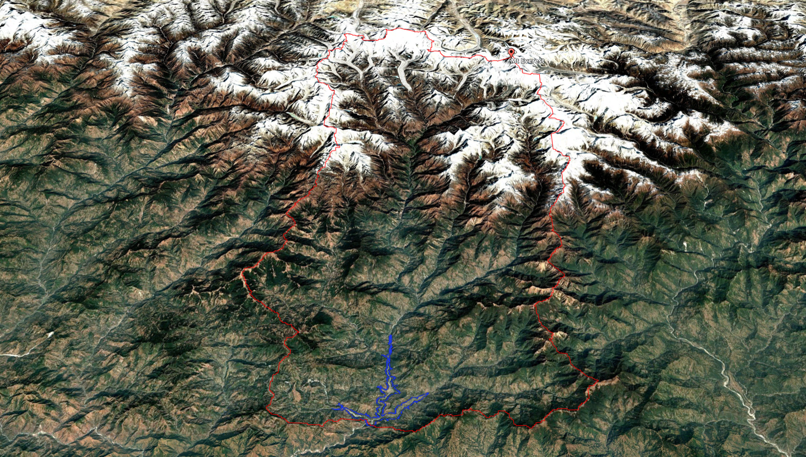
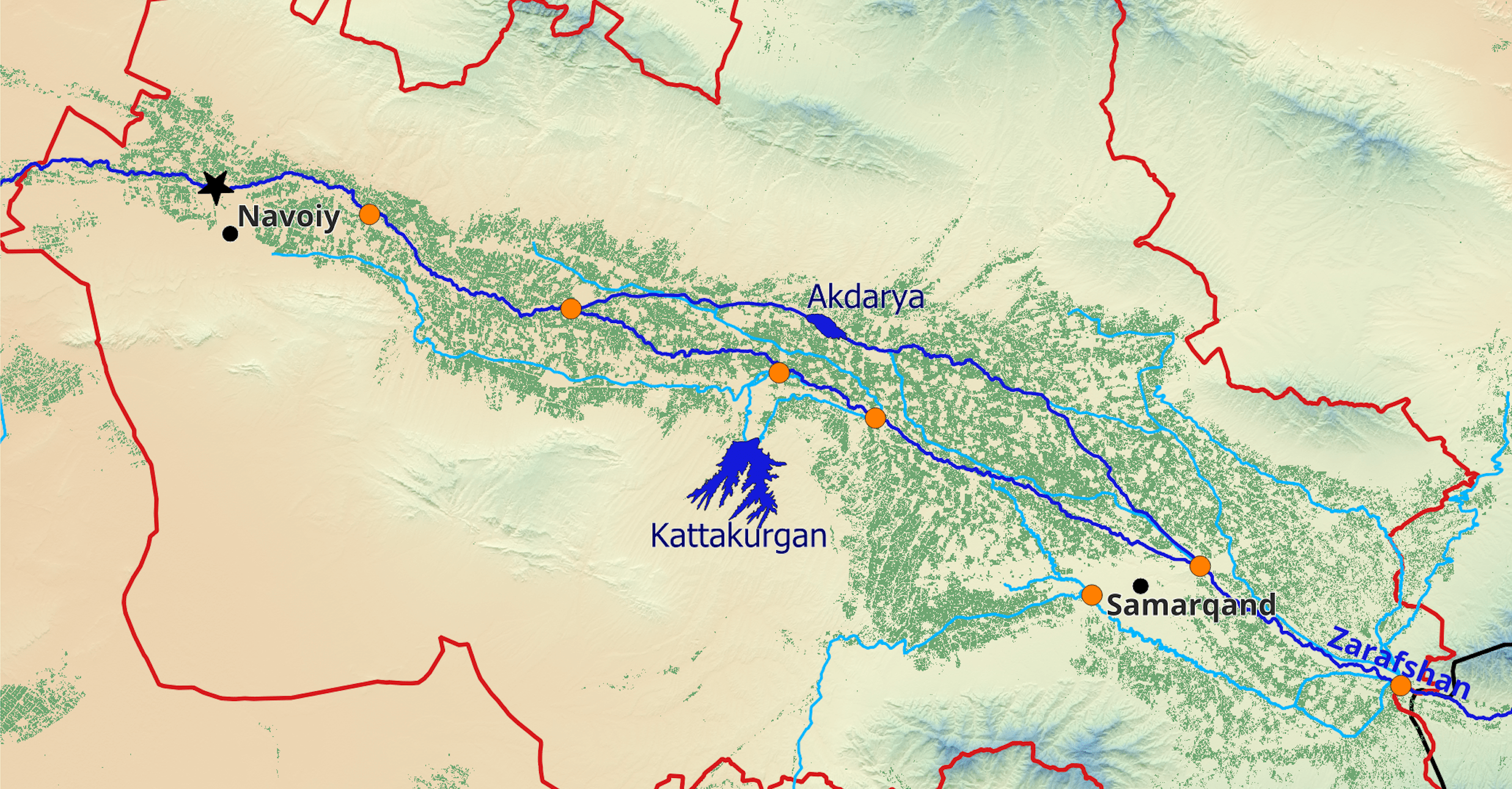
Case Study: Central Asia – Understanding Water Use in Irrigation Oases
In our most recent study, we applied our remote sensing workflow to analyze agricultural water use across three major irrigation oases—Samarkand, Bukhara, and Kashkadarya—in Uzbekistan’s Zarafshan-Kashkadarya River Basin. This region is emblematic of Central Asia’s intensive irrigation systems and growing water stress.
The study presents a comprehensive methodology to quantify the agricultural water balance, combining satellite-based, ground-based and reanalysis datasets. For the first time in this region, we integrated monthly estimates of active water storage in reservoirs, derived from our satellite-based workflow, into a detailed water balance analysis.
By breaking down water use over time, we identified critical periods of water scarcity, when intensified groundwater pumping was needed to sustain crops. By providing this high-resolution breakdown of water sources and use, the study delivers actionable insights for improving water governance in Central Asia. The full study is published in the Journal of Hydrology: Regional Studies.
Making the Technology Accessible
To ensure that the benefits of this technology extend beyond research and expert circles, we’ve developed a series of web applications that make our remote sensing tools accessible to a wider audience, including decision-makers, planners, and practitioners.
The Sahel-Water app brings together cutting-edge remote sensing techniques for monitoring over 300 lakes and river stretches across ten countries in the Sahel. Built on Google Earth Engine, the platform requires no in-situ data and allows users to access up-to-date water level and area statistics with just a few clicks.
A second tool, the ee-India-Reservoirs app, applies the same technology in the context of irrigated agriculture in Gujarat, India. The app provides reservoir-level data on water storage, sedimentation, and cropping dynamics, helping operators identify investment hotspots and areas with fluctuating cropping intensity tied to reservoir storage conditions.
By turning complex satellite data into intuitive insights, these platforms help bridge the gap between scientific innovation and practical decision-making—offering scalable solutions for sustainable water management across some of the world’s most water-stressed regions.