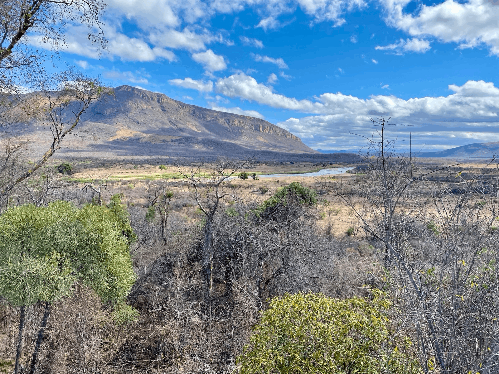
The agricultural sector in the Uzbek part of the Zarafshan River Basin, which includes the cities of Samarkand, Bukhara, and Karshi, heavily relies on irrigation, with an irrigated land area of 1.1 million hectares (ha). However, there is not enough water generated within the catchment to meet this high demand. As a result, 60% of the total water used for irrigation comes from the Amu Darya via pumping (8.3 billion cubic meters). Water is pumped up to a height of 200 m, which is not only extremely costly but also leads to significant CO2 emissions (1.1 million tons of carbon dioxide equivalent). Climate change, population growth, and increasing water extraction from the Amu Darya will intensify pressure on this already scarce water resource.
Irrigated Agricultural Land
Total River Water Used for Irrigation
Pumped Water from the Amu Darya River
Water Storage Capacity
Remote Sensing Supported Water Resource Management
The challenges confronting the agricultural sector in the Uzbek part of the Zarafshan River Basin necessitate advanced analytical solutions. We utilised remote sensing to address this, capitalising on satellite imagery to capture, analyse, and interpret data on irrigation water use. For the Zarafshan River Basin, this technique offers a deep dive into factors such as water available in reservoirs, land usage patterns, and evapotranspiration rates. Harnessing this data can provide crucial insights and serve as a basis for transforming water resource management to a more sustainable approach.
Water storage
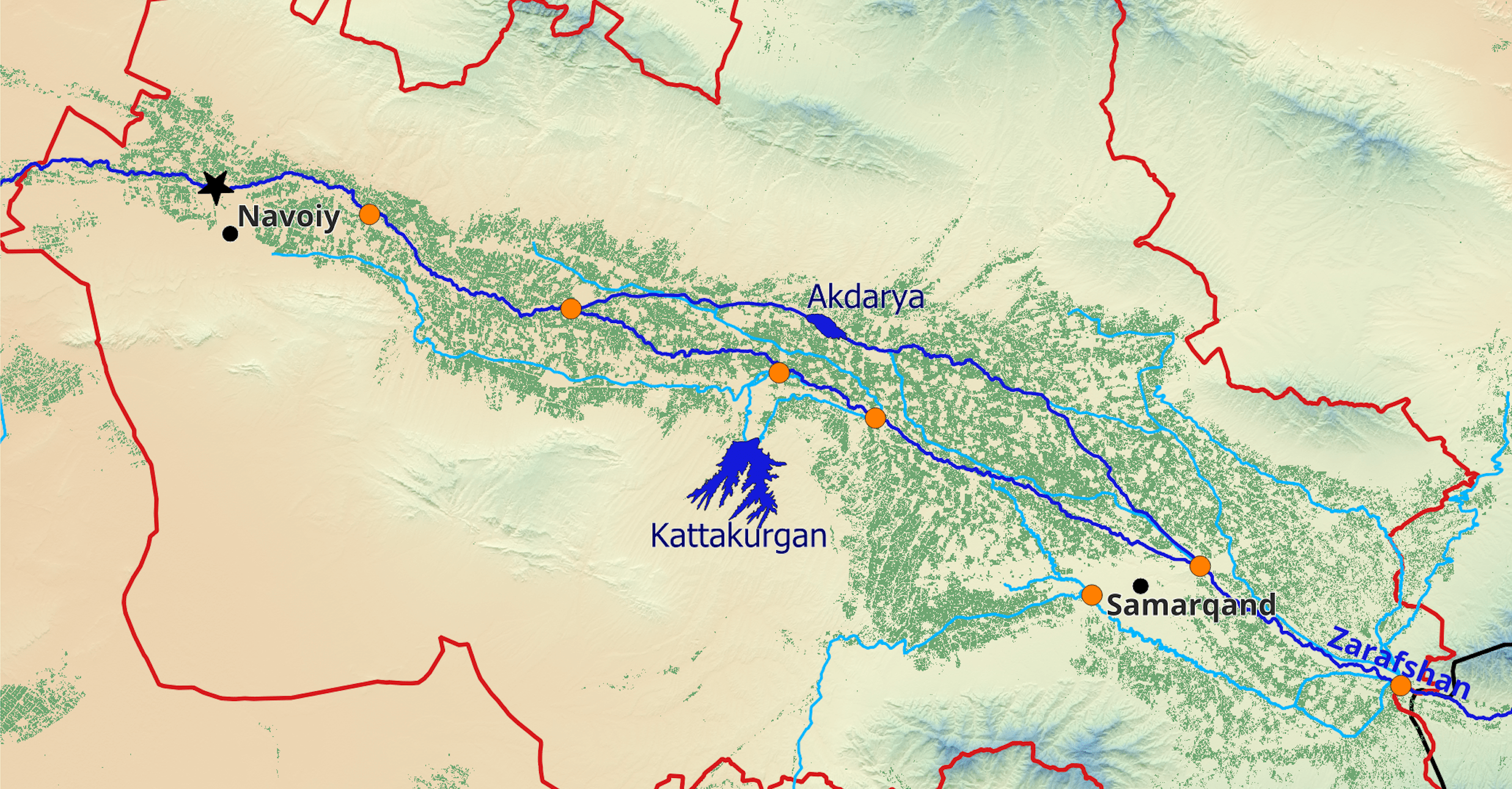
Seasonal reservoirs serve as critical storage systems, ensuring water availability during peak vegetation periods. We determined the active storage capacity in the basin by conducting bathymetric mapping of existing reservoirs and monitoring their fill levels. This assessment, backed by available design plans of these reservoirs, indicates a cumulative water storage capacity of 2.6 billion cubic meters in the region. Water evaporation from reservoirs is a major challenge and leads to a loss of approximately 30% of the active storage volume per irrigation season. While sedimentation typically threatens reservoir capacity, it's less concerning in the Zarafshan River Basin, primarily because the pumped water from the Amu Darya exhibits low sediment content. Utilising remote sensing methodologies to track bathymetric shifts, we found that sedimentation only results in an annual loss of 1.2 million cubic meters of active storage. This translates to a mere 1% decline in storage capacity over a span of 20 years.
Seasonal Water Balance
We utilised the USGS Landsat ETa Science Product to produce monthly evapotranspiration maps. These high-resolution temporal layers facilitate quantification of actual crop water consumption, distinguishing between natural sources and irrigation. By integrating these layers with maps of predominant crop types, created through our EOSTAT CropMapper tool, we assessed the irrigation requirements of each crop. Notably, cotton is the predominant water consumer, accounting for 43% of the total water demand while only covering 35% of the irrigated land. The total irrigation water use by crops amounts to 5.3 bcm, substantially less than the total surface water allocated for irrigation. So, what accounts for the discrepancy between crop water use and river water extraction? Conveyance losses in the irrigation channels amount to 3.1 bcm, and other inefficiencies, mainly attributed to field-level leakage, further contribute to this divergence.
Drawing parallels between water demand and surface water flows, we developed a comprehensive seasonal water balance. One interesting insight from this water balance analysis is that the agricultural sector in the Samarkand region might be heavily supplementing irrigation water use through unsustainable groundwater extractions. While public data on groundwater usage is not available, GRACE measurements confirm consistent groundwater depletion over time.
Conclusions
The insights gained from our study not only shed light on the current dynamics of water usage and challenges in the region but also lay a foundation for a transformation towards sustainable water resource management. With increasing water extraction anticipated from the Amu Darya in the upstream, this data becomes critical. It can now be employed for scenario analysis and offers valuable guidance for irrigation investment projects on optimising water efficiency. By leveraging these findings, stakeholders and policymakers have the opportunity to make informed decisions, ensuring both current and future water demands are met while safeguarding this invaluable resource for future generations.