Modernization of key components of the transboundary water information in the Chu-Talas River Basin that is shared between upstream Kyrgyzstan and downstream Kazakhstan.
irrigated land in Central Asia
people directly depend on income from irrigation agriculture
of GDP derived in the irrigation sector
of water allocated for the irrigation sector annually
Background
In the large irrigation oases of Central Asia that cover more than 14 million hectares of land, a hierarchy of centralized water institutions manages irrigation and drainage water for complex networks of tens of thousands of kilometers of canals. With data from rivers and reservoirs, canal water is regularly monitored, recorded, counted, and aggregated by these institutions. These tasks, which are mainly carried out with pencil on paper, are the essential elements of the existing irrigation water information systems (WIS) in the region.
In Soviet times, automated monitoring and control systems were put in place at critical locations. At the same time, a large number of observers were tasked to read and report standard gauges. Over the recent decades, the lack of adequate operation/maintenance and continuous modernization led, among other things, to a significant deterioration of the observation systems on rivers and irrigation systems alike.
The existing WIS often relied on crude maps, simplifications, and purely mechanical accounting data with little reference to local conditions and knowledge. The crude assumptions utilized for devising water use and irrigation system plans and operations by the trained specialists have led to dramatic water use efficiency declines. At the same time, the service provision for the end-users grew more unreliable, especially for water users located at the tail ends of the large canals and irrigation systems.

Modernizing the Chu-Talas River Basin Irrigation Water Information Systems
The two neighboring Chu and Talas river basins are shared between upstream Kyrgyzstan and downstream Kazakhstan. The flow of both rivers is highly seasonal with spring and summer snowmelt and - to a much lesser extent - glacier melt being the dominant runoff generation processes. A large fraction of the approximately 2 million people living in the two catchments depends directly on agricultural sector outcomes. The availability of proper amounts of water for irrigation at the right time and location is crucial for the societies there and farmer livelihoods because agriculture is entirely irrigated.
The Water Accountability in Transboundary Chu-Talas River Basins Project, funded by the Swiss Agency for Development and Cooperation (SDC) and led by hydrosolutions GmbH, in collaboration with various partner institutions, supports the Kyrgyz and Kazakh Republics to modernize data acquisition, management, and synthesis as well as data exchange procedures for irrigation water as part of the establishment of modern national-level WIS in the Chu and Talas River Basins.
Modern WIS are characterized by distributed and interlinked digital components, including databases and corresponding management systems. Producers and consumers of water-related data and information exchange these according to their needs and want with clearly defined sharing frameworks between stakeholders. Each organization and its subsidiaries that are organized around everyday tasks has its own WIS element. These elements resemble modular LEGO bricks (individual agency WIS) that are interoperable (brick stacking) and scalable (brick extensions).
In the Kyrgyz irrigation sector, for example, the concerned stakeholders are a) the National Hydrometeorological Agency that measures discharge in rivers and provides forecasts on water availability; b) the Department of Water Management and Land Melioration that manages, operates and plans water resources and irrigation infrastructure, including small dams; c) the Oblast-level Oblvodkhozes subordinated to the department that plan and supply water through main canals; d) the Rayon-level Rayvodkhozes that deliver water to end-users through a complex mesh of smaller canals; and e) the water user organizations (WUAs), that account for on-farm water consumption by farmers. In transboundary settings, modern WIS extend to the international level. Hence, for the Chu-Talas River, they support the work of the Chu-Talas Interstate Basin Commission that was jointly established by the Kyrgyz and Kazakh Republics.
New Data, Technologies & Opportunities
New data and technologies are used for a cost-effective modernization of the existing analog WIS. These help to improve water accounting and accountability for better economic efficiency and environmental sustainability.
Relying on the existing data collection procedures, the Project supports the Kyrgyz and Kazakh Republics in a) the specification of needs on data and information products and their sharing procedures, b) the definition of common language elements for ensuring compatibility and comparability of exchanged data, and c) the development and implementation of components of the technical systems for data access, processing, and visualization. Selected elements of the Project are showcased below.
WIS Dashboards
WIS dashboards enable quick access to vital statistics and system conditions via interactive river/canal line schemes, web-mapping tools, and indicators maps/graphs. These tools facilitate integration and visualization of data and information produced by the various stakeholders, including hydro-meteorological agencies and all irrigation water institutions. The system can be monitored on tablet computers and access restricted to specially designated users.

Utilization of Open-Source Remotely Sensed Data for the Development of Key System Indicators
Typically, modern WIS synthesize data from different sources, including from in-situ measurement stations, remote sensing, and data collected through local involvement, i.e., from staff gauge readers. Based on these data, the Project collaborates with local stakeholders to visualize canal and district unit water balances in the online dashboards.
In the case of limited-level in-situ monitoring networks and significant data gaps, the use of earth observation technologies can fill these gaps and provide valuable complementary information at no cost through open-source remote sensing imagery.
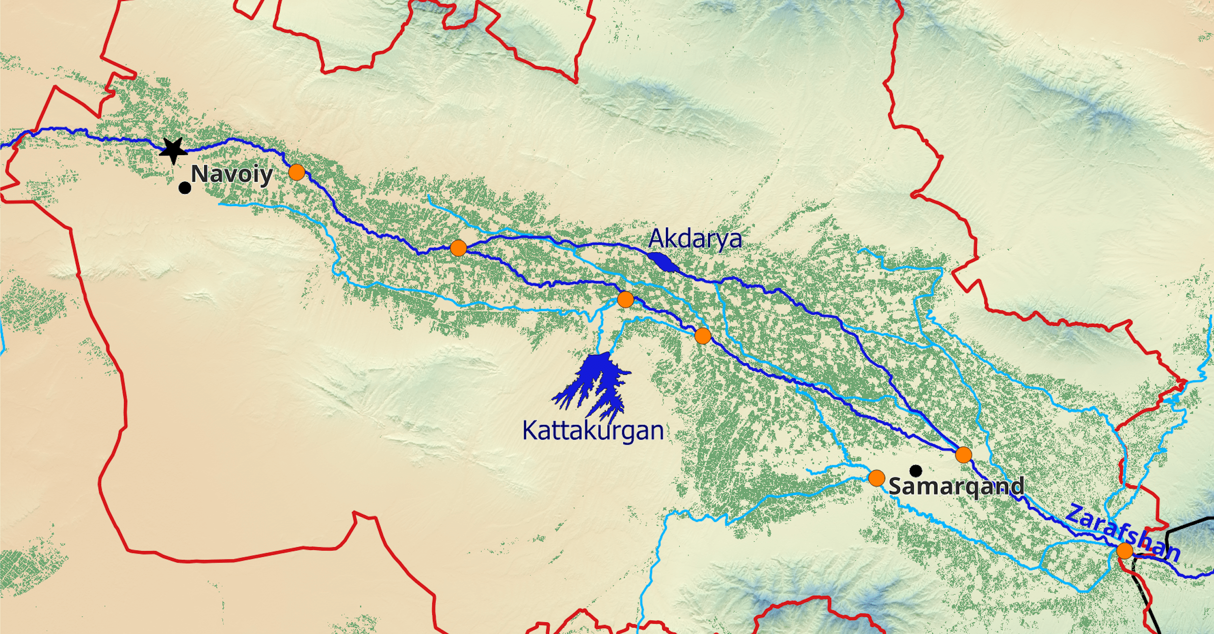
For example, for the period from 2000 to 2017, the Project has developed a unique method for high-resolution mapping of irrigated areas in the target basins (link to publication). These maps of irrigated land provide a mask over which annual evapotranspiration can be computed, e.g., with the METRIC algorithm. With precipitation and canal water data, the water balance can be closed, and unproductive water losses are computed to estimate water use efficiencies at the different system levels.
The same remotely sensed data could also be utilized to monitor field-level irrigation dynamics in great detail. Like this, system rehabilitation measures can be prioritized, and their effectiveness and the development of illegal abstractions can be monitored.
Supervisory Control and Data Acquisition Systems
Supervisory Control and Data Acquisition systems are indispensable for effective operations of large hydraulic irrigation structures. With local technical experts from the Kyrgyz PKTI Vodavtomatika y Metrologia, the Project equipped critical structures with such systems. Additionally, ultrasonic water level sensors were installed at several important gauging sites on the Kyrgyz and Kazakh sides of the basins.
Data from these automated systems are transmitted via radio modem / GSM to local dispatcher centers at Rayvodkhoz and Oblvodkhoz levels and the national WIS. The automatic monitoring, control, and data transmission dramatically facilitates the work of the water supplying institutions and increases their effectiveness and the precision of their work. In all instances, local stakeholders contributed to the Project by ensuring the mechanical rehabilitation of the existing hydraulic infrastructure and electricity connections to the sites.

Modernization of Operational Hydrology Workflows
Central Asian Hydrometeorological Agencies are in charge of monitoring rivers, among other things. The operational departments receive and synthesize daily data from remote discharge stations. Based on these data, they prepare bulletins, forecasts, and issue warnings in case of extreme conditions.
Building on the previous accomplishments of the SDC-supported Innovative Monitoring and Modelling Project in the region, the Project continues to implement an entirely digitized workflow for operational hydrology that is specifically tailored to the requirements of the Central Asia mountain river conditions. This includes a) the management and exchange of digital runoff data and data from meteo stations, b) the maintenance of rating curves for all stations, c) the generation of hydrological bulletins, and d) the automatic forecasting of river flows (5 days, 10 days, monthly and seasonal lead times). The tool helps experts focus less on meticulous, repetitive, and error-prone manual tasks but rather on improving the quality of their services, including forecasts and bulletins.
Since the workflows of the operational hydrometeorology departments are going back to Soviet times, their similarity across the Central Asian Republics enables effective outscaling.

Automatized Integrated Irrigation Water and System Planning and Factual Accounting
Rayvodkhozes and Oblvodkhozes can enhance their irrigation water service provisions through effective and modern digital water planning and factual accounting.
The existing analog workflows within and between institutions have all been modernized jointly with local users. Fully digitized water accounting is now available to create irrigation networks/systems, including canals and hydro posts, and to edit climatic zones, irrigation modes, and norms as well as sowing plans. Decadal water use plans, crop plans, and irrigation system plans, including limit plans, can be viewed and exported in one click. Similarly, factual water supply journals, decadal and cumulative balances, and invoices/acts can be created based on the factual water supply journal. Data from in-situ field sensors and manually gauged data by observers can be directly assimilated into the operational journals. More information about the Water Planning and Factual Accounting web-tool can be found here.

SMS Data Transmission of Manually Gauged Measurement Points by Observers
Observers that manually gauge measurement points daily can send measured data directly to the database via SMS. The same digital data transmission system is available for Mirabs in WUAs. In both instances, digital reporting can replace the existing paper-based talon system and make data acquisition more effective, less cumbersome, and error-prone and ultimately improve accounting and accountability between stakeholders and contribute to a reduction of water-related conflicts.
National and Transboundary Bulletins
National and transboundary bulletins are prepared on a quarterly base. They summarize key system statistics and relevant data from stakeholders and thus give an overview of rivers, reservoirs, and irrigation systems. Bulletins are considered to be good practice in transboundary river systems. This shared information helps, among other things, to improve the transparency of interstate allocation patterns.

Conclusions
The introduction of modern WIS in the Central Asian irrigation sectors helps to improve the performance of the irrigation system which is the primary water user and serves as an entry point to water accountability improvements through a) higher water use efficiency, b) better cost recovery for sustainable irrigation system operations and maintenance, c) increase the water accountability, also at transboundary levels and contribute to a reduction of water-related interstate conflicts and d) increase environmental sustainability. The Soviet heritage in the region and the well-established hydraulic accounting culture in place provides an excellent and vital starting point for the modernization of the existing systems and processes.
Partner Organizations
- hydrosolutions GmbH (lead),Switzerland
- IOWater, France
- M.Pernebayev, SoftVisi Ltd., Kazakhstan
- O.Anarbekov, IWMI & CDE, Uzbekistan
- A.Yakovlev, consultant, Uzbekistan
- photrack AG, Switzerland
- PKTIVodavtomatika y Metrologia, Dept. Water Resources, Kyrgyzstan
- SDC Bishkek, Kyrgyzstan