A mathematical groundwater of the Sokh Aquifer in the Fergana Valley was established to study and manage groundwater flooding in the Rishtan area. The results help to quantify the tradeoffs of several management options and help local stakeholders to prioritize the set of best interventions based on the project's findings.
Recurring Groundwater Flooding
Rishtan city, in the south of Fergana Valley, is subject to seasonal groundwater flooding, considerably impacting farmers yields. Several reasons lead to waterlogging of soils in Rishtan, the contributions of each are not known: (a) locally high clay contents in the aquifer naturally lead to upwards flow of groundwater, (b) high irrigation water application on the heavy, slow draining soil, and (c) increased lateral inflow of groundwater from the upstream irrigation area (Burgandin Irrigation Massif in Kyrgyzstan). Investments in improved drainage in Rishtan are currently being made and the groundwater monitoring network is being extended.
Jointly with local partners, hydrosolutions has worked on (a) setting up a conceptual groundwater flow model, (b) reviewing the data availability and quality for the implementation of a numerical groundwater flow model, (c) implementing a numerical groundwater flow model, and (d) studying alternative groundwater management options with the model to reduce groundwater flooding in Rishtan.
Data & Method
Data needed to establish a water balance of the Sokh aquifer and collected by HydroEnGeo, the Fergana branch of HydroEnGeo, the Hydrogeological Amelioration Unit of BISA Fergana, and the Uzbek Hydrometeorological Organization, have been analyzed. These include
- monthly distance to groundwater in deep wells from the start of the collection period of each well to mid 2019,
- decadal distance to groundwater in shallow groundwater observation wells from 2009 to 2018,
- annual water supply and drainage data per district between 2009 and 2018,
- monthly water supply and drainage data per district for the year 2018,
- annual statistics on soil salinization between 1984 and 2018,
- locations of water-related infrastructure,
- monthly air temperature and precipitation in Kokand and Sarykanda for the entire measurement period, and
- discharge of the river Sokh in Sarykanda for the entire measurement period.
Borehole profiles for 67 wells in the Sokh aquifer area were available but no maps on aquifer parameters or aquifer geometry. Further, groundwater abstractions for household and industrial use were not available. The monthly intake rates from the Sokh river to the Burgandin Irrigation Canal were available for the year 2018. A digital elevation model was obtained from the publicly available Shuttle Radar Topography Mission with a horizontal resolution of 0.002˚ and a vertical resolution of 1 m. A high-resolution land use/cover map was produced using an unsupervised classification approach and annual evapotranspiration for the entire region was estimated using the METRIC Algorithm with data from Landsat missions. A review of the groundwater level changes over a year showed that steady state conditions can be assumed at annual time scales. The best data quality was available for the year 2018 and it was thus chosen for the water balance modelling.
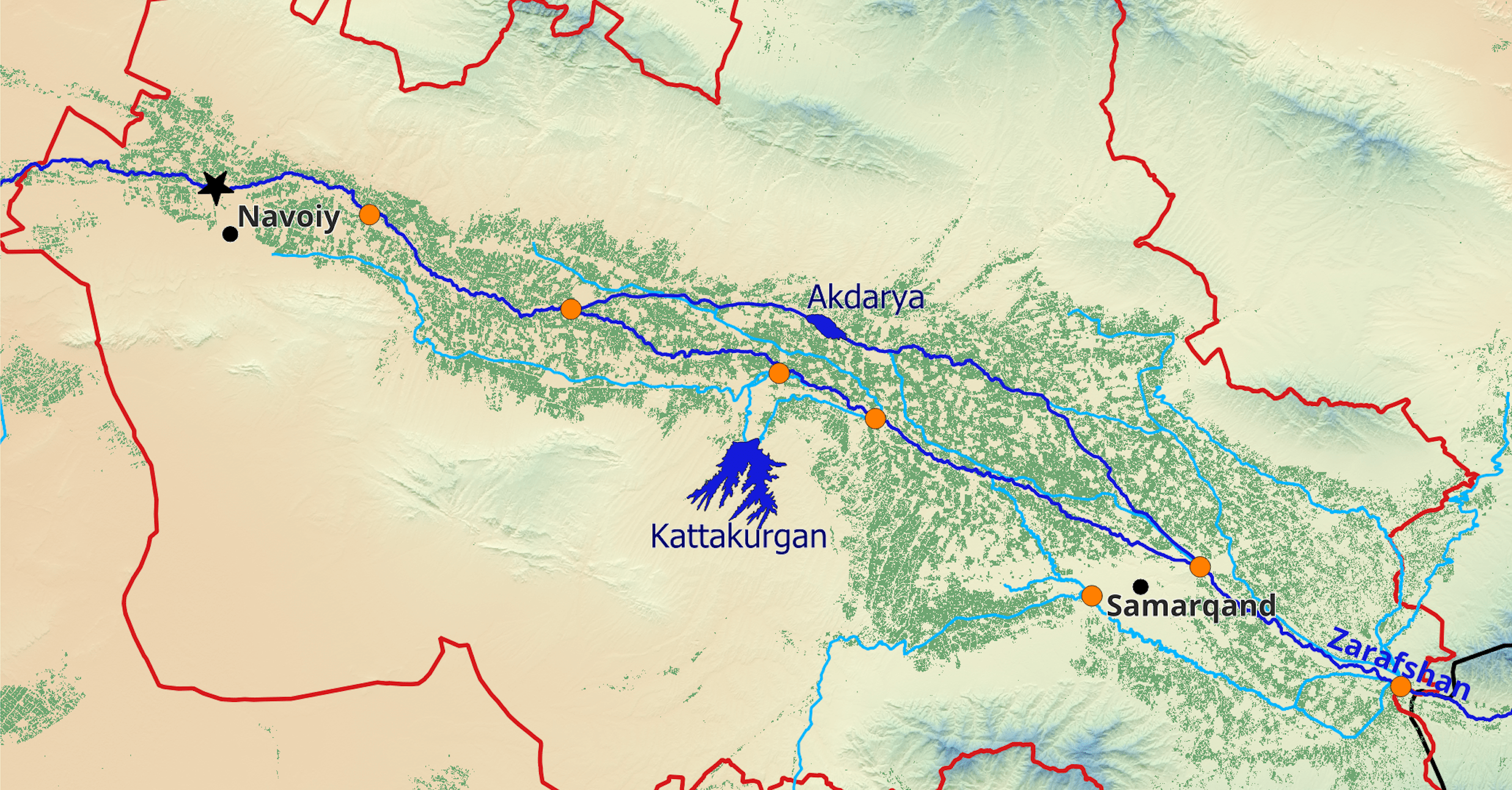
.png)
Results & Discussion
The Sokh water balance had to be done in 3 conceptual boxes to account for the major water fluxes. The upstream box includes the irrigated area along the river Sokh in Uzbek and Kyrgyz territory and accounts for consumptive river water use along the river and for infiltration of river water into the underlying sediments. The second box represents the Burgandin Massif on Kyrgyz territory, assuming zero groundwater abstraction. The largest box represents the Sokh aquifer on the downstream Uzbek territory for which preliminary water balance data was available.

The numerical groundwater flow model reproduces the manual water balance well. The simulations of the management scenarios based on the annual average model show a high sensitivity of the groundwater levels in the Rishtan city area towards increases of lateral inflow of groundwater from the south. Increasing lateral inflow to the model by 20% will lead to an increase of groundwater tables in Rishtan city by 82% exacerbating groundwater flooding. This shows the importance of coordinated transboundary water management also carries over to groundwater in the Central Asian Region.
This study has yielded valuable insights into possible mitigation strategies for groundwater logging. However, it has also shown that aquifer management's effectiveness could be significantly improved if the different data collected and managed by the different institutions could be accessed and easily used in their daily operational work. The exchange of high-quality data between government institutions concerned in water management should be facilitated to include groundwater abstractions for household and industrial use in the water balance modeling.