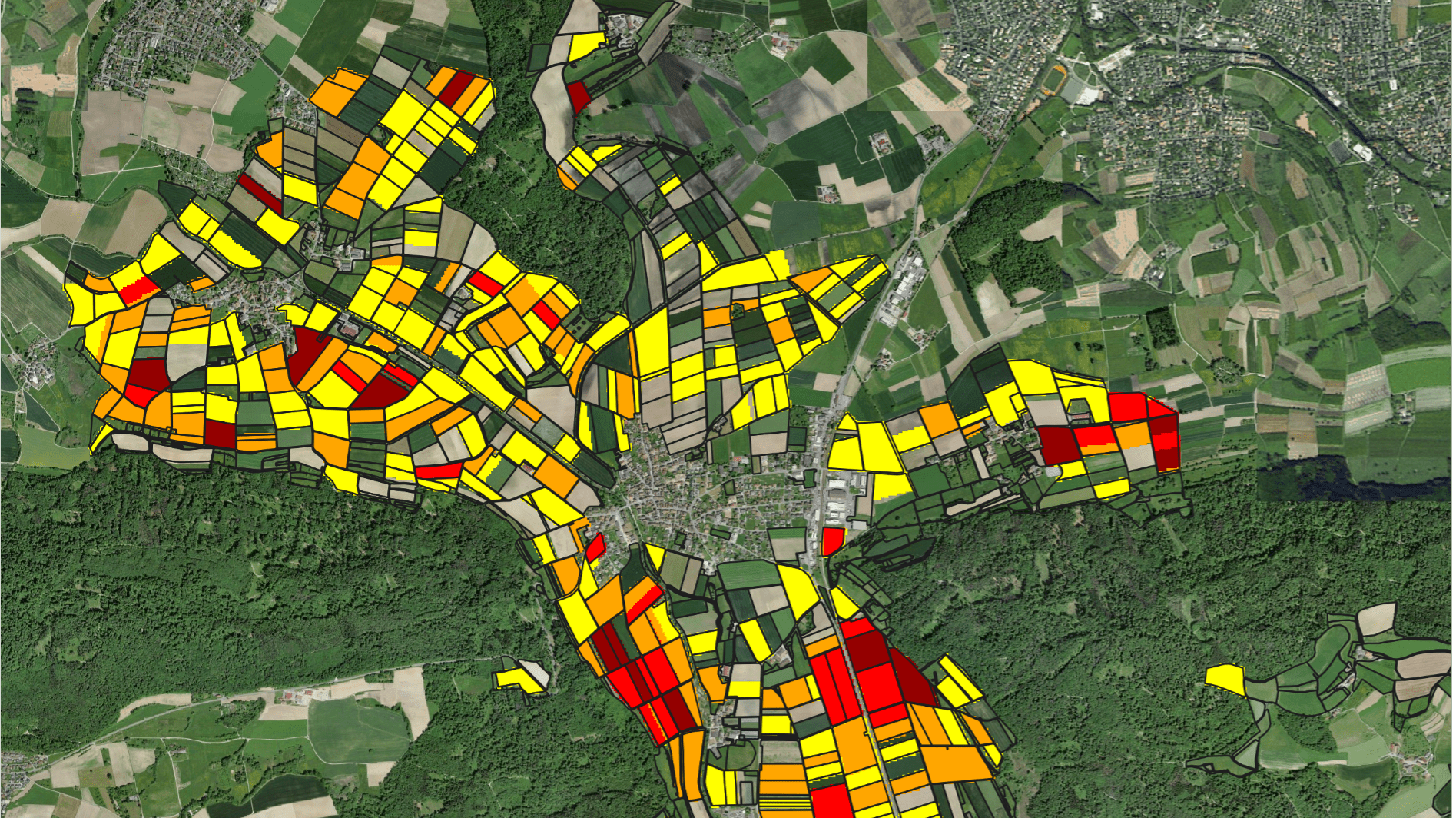
Lake Abijata in the Central Ethiopian Rift Valley is shrinking at an alarming rate - remote sensing imagery show a decrease in lake surface area of almost 70 percent between 2000 and 2019. The terminal lake is a natural integrator of climatic and anthropogenic developments such as expansion of irrigated agricultural land in the basin. The rapid decrease of Lake Abijata indicates that the hydrological system has lost its equilibrium state, putting at risk fragile wetland ecosystems and potentially threatening livelihoods of local farmers and fishermen. One key objective of the SAWEL project is to improve food security through ecologically sustainable agricultural water management, which requires reliable data for decision-makers to develop sustainable abstraction scenarios, limits and policies.
Quantifying the water balance of Lake Abijata is a crucial step towards a sound understanding of the hydrological situation in the Central Ethiopian Rift Valley. Due to a lack of consistent in-situ measurements, hydrosolutions GmbH combined various remote sensing datasets to determine lake surface area, lake level and volume variations. The innovative method efficiently allows to reconstruct past time series and is a promising solution for continental-scale lake monitoring.


