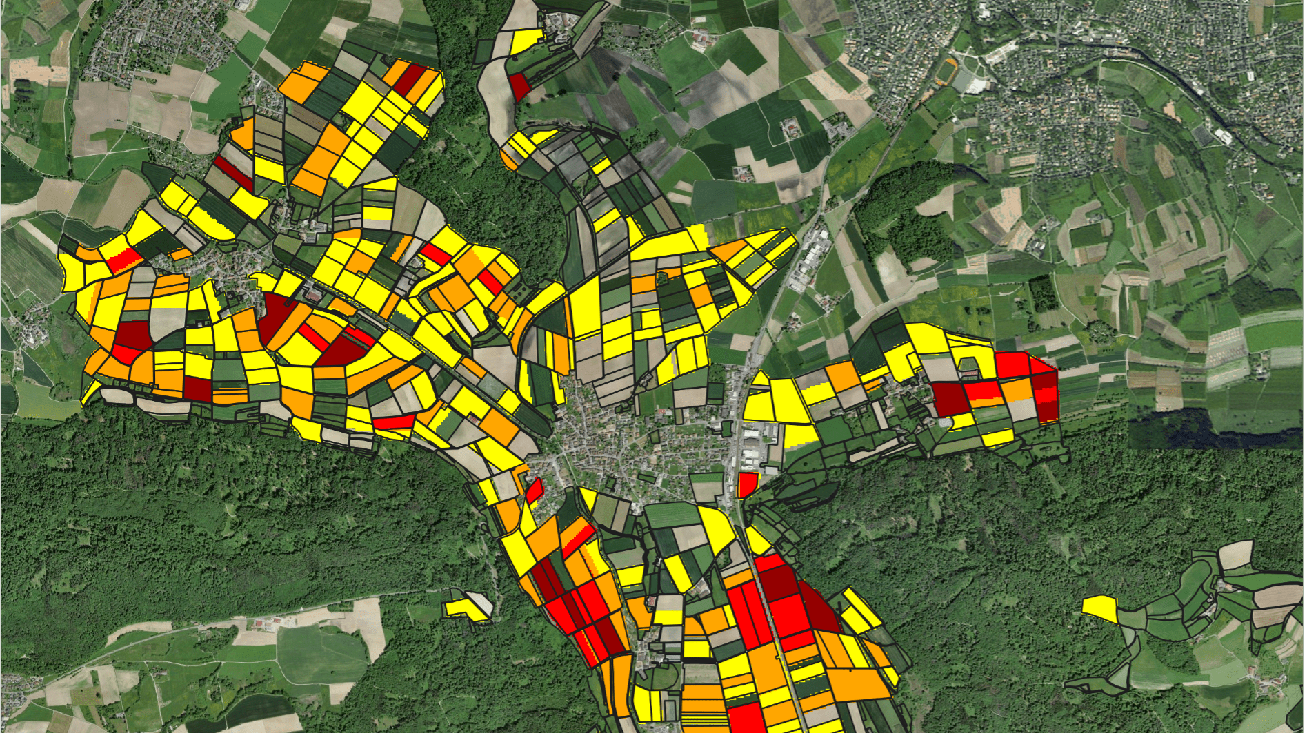
Using Google Earth Engine, we have designed a new web application to examine the distribution of ground surface temperatures (ST). The analysis of ST values and trends is based on free-to-use remotely sensed thermal imagery. The app enables users to understand the impact on the microclimatic landscape of land-use changes during the past 20 years. Data on ground surface temperature help to identify and anticipate urban heat islands and can be useful for the management of shallow geothermal energy, among other things.
Feel free to test a sample application in Xiong'an New Area in China. Contact us if you would like to examine ground surface temperatures and associated trends in your area of interest!
Downloads
No items found.


