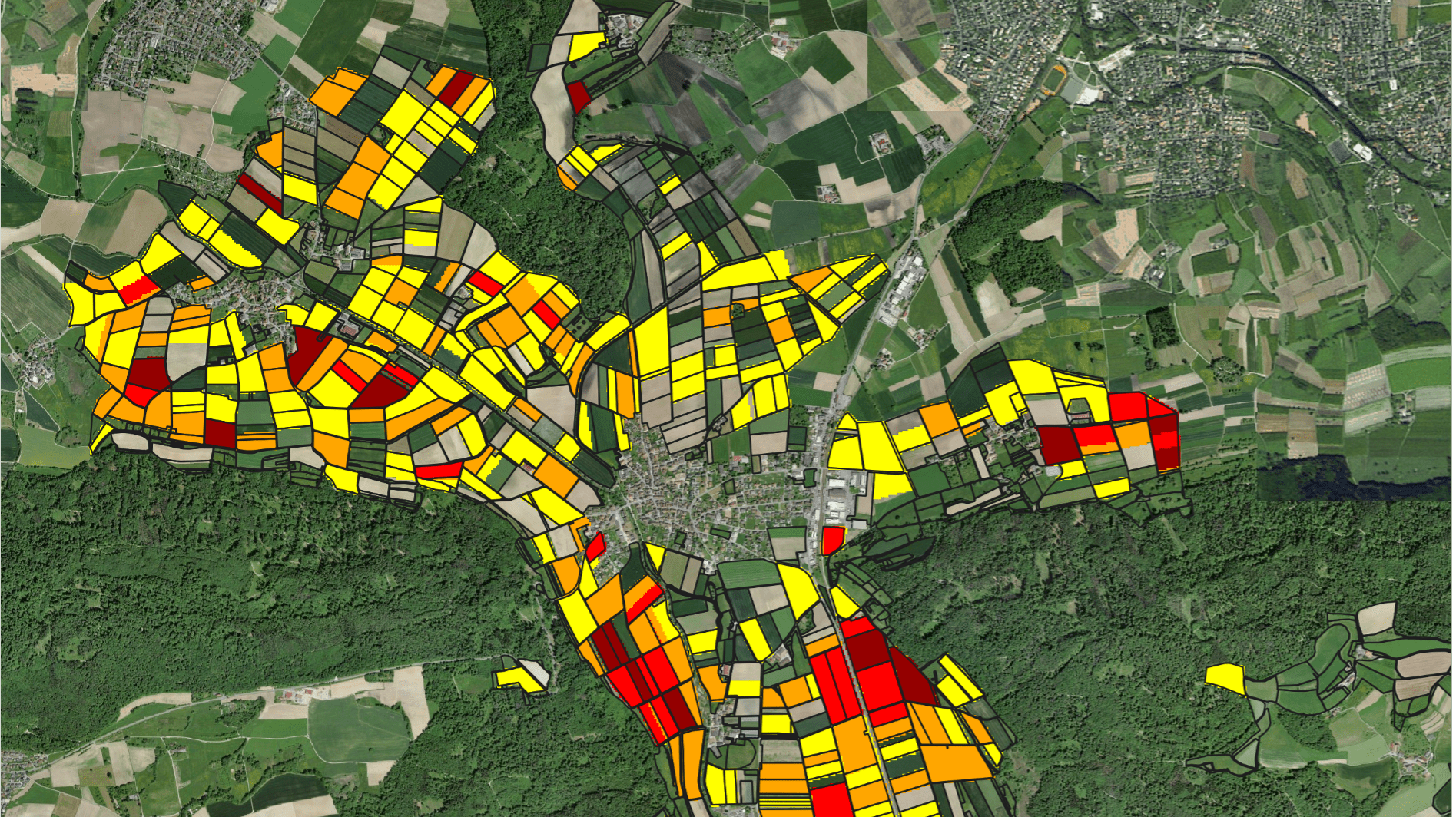
Hydrosolutions GmbH recently led a 7-day training workshop on Remote Sensing based Irrigation Performance Assessment (IPA) in New Delhi, India. Organised by the World Bank, the workshop gathered scientists and experts from state water departments, the Central Water Commission, and the National Institute of Hydrology.
The training aimed to enhance participants' skills in crop and irrigated area mapping using open source remote sensing data, water accounting, and web app development. Hydrosolutions GmbH, with extensive experience in irrigation performance assessment leveraging remote sensing data, collaborated with irrigation and remote sensing experts from the World Bank to design a comprehensive workflow for IPA. This workflow was the cornerstone of the training.
Participants were trained to use Google Earth Engine (GEE) to access optical and radar remote sensing data and combine it with auxiliary layers of evapotranspiration and biomass production. This integration allows for the monitoring of crop production and irrigation water use in large irrigation schemes. Remote sensing provides a robust means to assess irrigation performance at a large scale, focusing on several key aspects:
- Adequacy: The system's ability to reach targeted water deliveries in terms of quantity.
- Equity: The uniformity of water deliveries, or the degree to which deliveries are considered fair by all users.
- Productivity: Output per unit of land (land productivity/yield) or water consumed (water productivity).
- Efficiency: The system's ability to minimise water losses due to oversupply.
- Reliability: The degree to which water delivery conforms to the expectations of users throughout the irrigation season. Water deficits during critical growth periods can lead to significant yield losses.
Throughout the training, participants learned to apply this workflow to their own areas of interest. On the last day of the workshop, they presented their findings, demonstrating the successful application of the workflow. These presentations highlighted how water is distributed and used by crops in large irrigation schemes, revealing clear differences between the head and tail ends of the irrigation canals.
Looking forward, the scalable workflow developed for this training will be further refined and operationalised to support scheme management. The goal is to enhance on-farm water use efficiency and crop productivity across India, leveraging the powerful capabilities of remote sensing technology.


