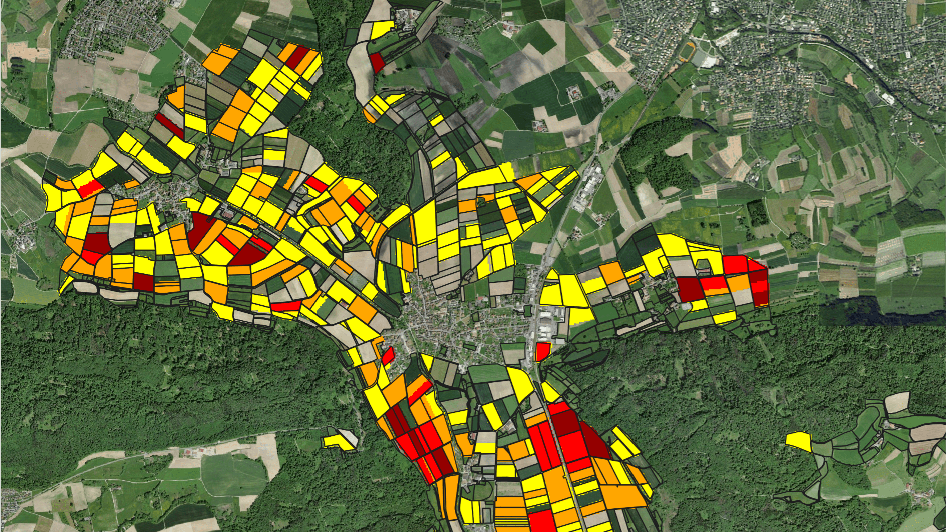
Earlier this year in July 2021, we have published a news article on ‘Mapping Irrigation Sector Performance in Central Asia’. The comprehensive assessment of irrigation performance has now been extended to all the former Soviet Republics in Central Asia (Uzbekistan, Kazakhstan,Tajikistan, Kyrgyzstan and Turkmenistan). Furthermore, we have now used our innovative machine learning techniques not only for the mapping of irrigated areas, but also for mapping different irrigated crops. With an unsupervised machine learning approach, the phenologies of the most important crops per region were identified and distinguished from one another. As a result, we are now able to trace the development of crop acreages of cotton, grains, forage crops or orchards over the years 2016-2020 in Central Asia. In combination with state-of-the-art datasets on evapotranspiration and biomass production we estimated crop water demand and irrigation requirements.
The Web App provides access to downloadable maps of cropped areas, evapotranspiration (ET)and rainfall. Maps of ET blue (irrigation ET) can also be downloaded via the app. ET green (non-irrigation ET) is estimated based on actual ET over fallow land.The difference between ET and ET green is called ET blue, and represents the water consumed by crops that is provided through irrigation. Overall, the app enables an unprecedented availability of extremely relevant information for a quantitative assessment of the irrigation sector in Central Asia.


