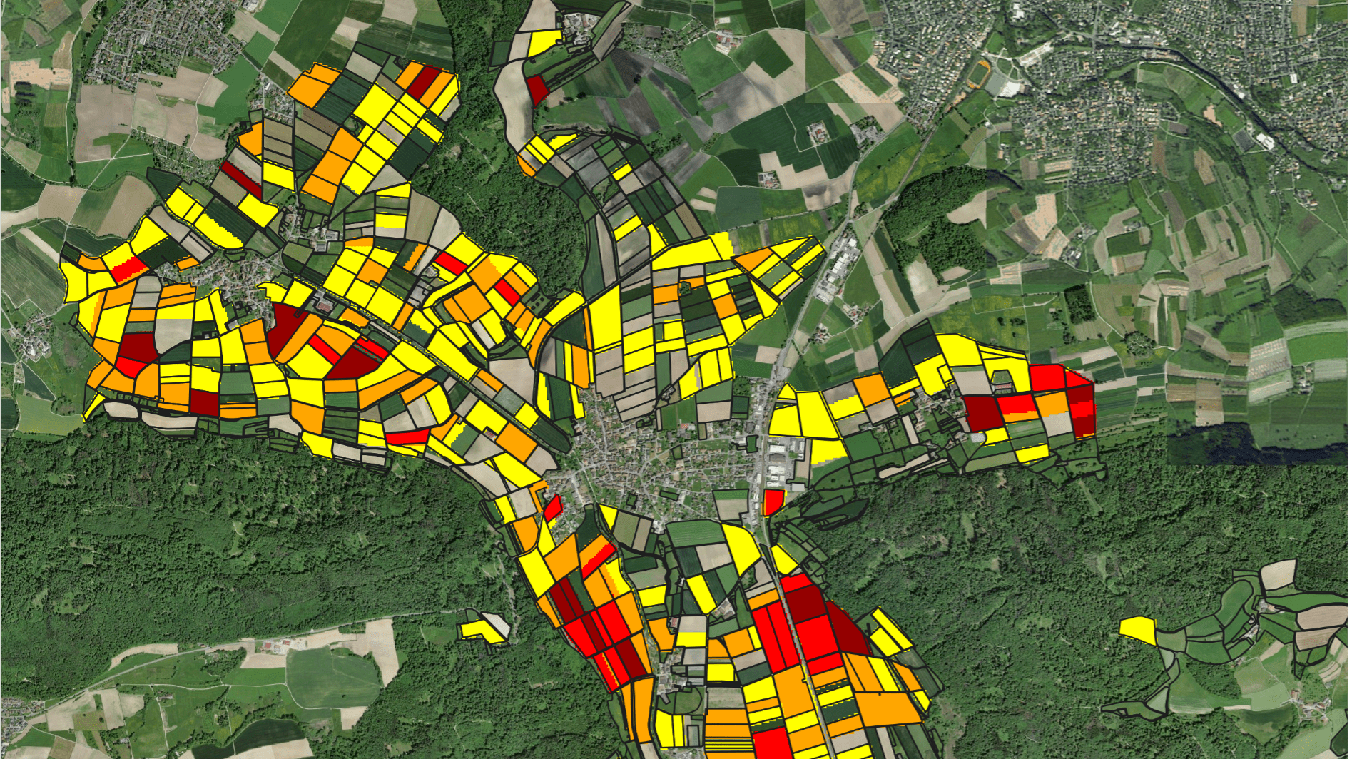
Crop type mapping at the field level is necessary for a variety of applications in agricultural monitoring and water resources management. Remote sensing imagery is a powerful input from which crop type maps can be created.
hydrosolutions GmbH has designed a browser app called CropMapper to facilitate users with no or minimal background in remote sensing to access and use such data for their purposes. The app generates high resolution (10 m) seasonal and annual maps of crop types for the North China Plain from 2016 onwards. The North China Plain is one of China's most important agricultural regions, producing maize, winter wheat, vegetables, and cotton. The plain extends over much of Henan, Hebei, and Shandong provinces. The CropMapper allows generating individual maps for 260 counties in these three provinces covering a total area of 270'000 square kilometers.
The following maps can be generated with the CropMapper:
- Winter Crop Area (January – May)
- Summer Crop Area (July – September)
- Winter Wheat Area
- Winter Fallow Area (in relation to selected reference period)
- Summer Maize Area
- Greenhouse Area
Contact us for more information.


